- Share via
- Scientists used data from seismic sensors to track groundwater beneath the Los Angeles area.
- Heavy rains in 2023 restored shallow waters, scientists found, but deep aquifers remain depleted.
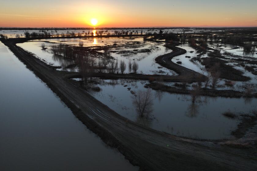
The rainstorms that drenched Southern California two years ago weren’t enough to replenish deep underground aquifers that had been depleted by pumping over the last two decades, a new study has found.
Stanford University scientists analyzed how the historic 2023 storms affected groundwater levels across Los Angeles and Orange counties. They found that while shallow aquifers rebounded, deeper aquifers more than 150 feet underground regained only about 25% of the water they had lost to pumping since 2006.
“The rain that comes down in a big burst, a lot of that recharges the shallow aquifers, but it doesn’t necessarily percolate into the deep ones,” said William Ellsworth, a seismologist and geophysics emeritus professor at Stanford who co-wrote the study. “It’s a reminder to everyone that the damage of these long-term droughts has not been replenished.”
The series of huge storms in 2023 filled reservoirs across California after three years of severe drought. The study, which was published this week in the journal Science, showed that even this large influx of water made up for only a portion of the declines in water levels in recent years.
“We found that there is still substantial depletion in deep aquifers,” said Shujuan Mao, the study’s lead author, who conducted the research at Stanford and is now an assistant professor at the University of Texas at Austin. “It appears that a single epic storm season is not enough to restore the groundwater depletion accumulated over the recent droughts. It will take many more wet years for the deep aquifers to fully recover.”
California’s groundwater levels rose significantly in 2023, one of the wettest years in decades. State officials say efforts to replenish aquifers helped.
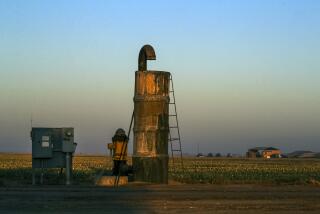
An estimated one-third of the region’s water supply comes from wells pumping groundwater, according to the Metropolitan Water District of Southern California. Other supplies are imported in aqueducts and pipelines from Northern California, the Colorado River and the Eastern Sierra.
When it rains, water percolates into the ground naturally, where it isn’t shunted into storm drains and concrete channels. Local agencies have also invested in projects in recent years that route stormwater to spreading basins or use purified wastewater to replenish groundwater.
Municipal wells typically draw drinking water from hundreds of feet underground, often tapping into aquifers that lie beneath impermeable clay and silt layers called aquitards. These layers can block the downward movement of water in places, slowing infiltration to deeper levels.
The scientists said they hope their findings will help local water officials have access to additional data to inform decisions about water use and conservation, and guide efforts to replenish groundwater.
The researchers developed a new approach for tracking groundwater levels by repurposing seismic data from California’s earthquake monitoring network, which includes dozens of highly sensitive seismometers in the region.
Mao and her colleagues used the data not to monitor quakes, but rather to track minute vibrations underground — “background noise,” as they described it, created by movements including ocean waves, traffic passing on freeways, trains rumbling and winds blowing through mountain passes.
“All these things generate noise,” Ellsworth said. “These are vibrations that are going on in the earth all the time from all sorts of different sources.”
Melanie Winter has long advocated for change along the L.A. River. As she undergoes cancer treatment, she remains focused on healing L.A.’s relationship to water.
“We can use the ambient seismic vibrations and analyze the speed of seismic waves to sense the aquifers,” he said.
The technique is called seismic interferometry. Ellsworth said it’s the first research to use the approach to assess groundwater levels in such detail and at different levels underground, down to 2,600 feet.
Mao also developed a new “seismic drought index” for assessing water deficits at different depths.
Measuring groundwater levels in deep aquifers traditionally has involved drilling deep wells, which is costly and can record water levels only in a single location. The new method using seismic data can measure water levels in entire groundwater basins, and at significantly lower cost.
“The seismic infrastructure is already in place and the data has been captured continually for decades,” Mao said. “It’s a buy-one-get-one-free technology.”
Ellsworth called the new method a revolutionary tool for studying aquifers.
Gregory Beroza, a co-author and professor of Earth science at Stanford’s Doerr School of Sustainability, said the approach is a big leap for groundwater management.
“It moves us to a possible future where we can measure groundwater recharge — how much there is and where it’s going — much as we do with stream gauges for surface water,” he said.
The study examined trends in several watersheds and groundwater basins, including three large basins — San Gabriel basin, Los Angeles Central basin and Santa Ana basin — and smaller basins such as Santa Monica and Hollywood.
It found that more groundwater recharge occurred in some areas, and less in others. For example, there were large increases in groundwater levels following the 2023 storms in parts of the San Gabriel Valley, Mao said, including the deep aquifers along the base of the San Gabriel Mountains.
The L.A. County Board of Supervisors has adopted the county’s first water plan, which outlines how the region must stop importing 60% of its water by 2045.
The researcher didn’t see much long-term depletion of aquifers in the Santa Ana basin in Orange County over the last two decades. Mao said this shows the area’s groundwater has been benefiting from managed recharge efforts.
One significant factor appears to be Orange County’s Groundwater Replenishment System, where purified wastewater percolates and is injected into the aquifer for use.
Roy Herndon, chief of hydrology for the Orange County Water District, said the study confirms that local groundwater recharge efforts are “effectively maintaining a sustainable amount of groundwater pumping.”
The research also corroborated the district’s water-level data, Herndon said.
He said the study’s method offers a cost-effective way to use existing seismic sensors to measure changes in groundwater in parts of California that don’t have extensive wells dedicated to monitoring water levels.


